From Cherokee homeland to chalet lots
Chalet Village did not appear alone. It grew inside a mid-century mountain-estates vision on Chilhowee — high ground, a man-made lake, and cabins aimed at the Smokies.
Land before the lots
The mountain's name runs deeper than the village. Chilhowee comes from the Cherokee Tsûlûñwe'ï — possibly rooted in an even older Muscogean name, Chalahume, for a Creek village some believe Spanish explorer Juan Pardo passed near in 1567. By the mid-1700s an Overhill Cherokee town called Chilhowee stood in the area, one of the larger Overhill towns — about 110 warriors and 18 dwellings plus a townhouse per Henry Timberlake's 1761 survey, led by headman Old Abraham (Abram). It was burned in 1776 by Virginia militia under Colonel William Christian during the Revolutionary War's frontier fighting, after the Cherokee had aligned with the British; Old Abraham himself was killed under a flag of truce in 1788. (That historic town site was later submerged by a different body of water — Chilhowee Lake on the Little Tennessee River, formed in 1957 — not the Lake in the Sky the village knows today.)
Removal followed a generation later. In the 1830s most Cherokee people were forced west on the Trail of Tears. In 1837 a large land grant — about 5,000 acres — was made to Daniel D. Foute, a Blount County entrepreneur already active on this mountain: he had bought 6,300 acres on Chilhowee in 1832, built a ten-room log hotel, and opened the Montvale Springs resort — a spa with vineyards and orchards, reached by roads his crews built with Cherokee labor to Georgia and North Carolina turnpikes. The 1837 grant included ground that would later become the mountain community around today's Chalet Village.
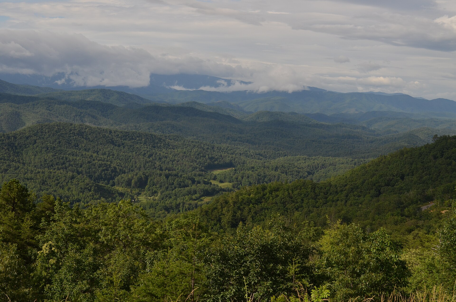
For more than a century the high country stayed rural and rugged. The Flats — a spur of Chilhowee Mountain at roughly two thousand feet — overlook Happy Valley and sit between the Foothills Parkway corridor and the boundary of Great Smoky Mountains National Park. Congress authorized the Parkway in 1944; the western stretch past Chilhowee toward Wears Valley opened in sections through the 1960s, arriving alongside the estates being built below it.
How the village era began
-
1837–1838
Grant & removal
Daniel D. Foute’s land grant covers a wide swath including this plateau. Forced removal of most Cherokee people follows the Trail of Tears era.
-
Early 1960s
Developers acquire the high ground
The old grant lands are assembled for a new mountain-estates project — marketed for views “on top of the world” above the valley.
-
June 1965
Estates in the newspaper
Construction of Top of the World Estates by Roy and Charles Headrick is reported in the Knoxville News-Sentinel (Carson Brewer, June 27, 1965). The plateau community begins to take legal and social shape.
-
1966
Lake in the Sky
A dam on Flat Creek — a tributary of Hesse Creek in the Little River watershed — forms an artificial mountain lake about 52.5 acres in size (roughly 3,000 feet long, 500 feet across) at 2,008 feet elevation. It isn't run for flood control but helps incidentally; a 2003 state water study noted elevated iron levels in Flat Creek, and the lake is even home to a documented population of freshwater jellyfish (Craspedacusta sowerbii). Mostly, though, it becomes the recreational heart of the ridge — fishing, swimming, quiet boating for those with access rights.
-
1970s onward
Chalet Village fills in
Named villages and sections appear on deeds and maps. Chalet Village becomes known for cabin-, chalet-, and A-frame-style homes — many built from the early 1970s forward — mixing full-time residents, second homes, and overnight stays. Public listings still identify parcels as Subdivision: Chalet Village.
-
March 2012
Fire protection arrives
Blount County Fire Protection District Station #8 goes into service on the lake's east shore, following a contract between the district and TOWLA — one of the community's clearer modern milestones, and still the nearest station today.
-
Today
A village with its own identity
Chalet Village remains unincorporated Blount County living: private wells and septic are common patterns, wildlife is real, and access still leans on the Foothills Parkway. Broader lake and landowner business often runs through TOWLA; village-level questions often start with the Chalet trustee.
Mid-century mountain style
After World War II, American vacation architecture borrowed heavily from Alpine chalets and steep A-frames — big roof planes, wood exteriors, glass facing the view. On Chilhowee that vocabulary fit the climate and the sales pitch: a private perch above the valley, near a new community lake and the national park.
That design language is still the visual soul of this village — and the inspiration for this website’s timber, copper, and A-frame geometry.
Where this story comes from
Community history summarized from public sources including Wikipedia’s Top of the World, Tennessee, Lake in the Sky (Tennessee), Chilhowee (Cherokee town), Chilhowee Mountain, Daniel Foute, and Foothills Parkway articles (citing the 1965 Knoxville News-Sentinel report, Henry Timberlake's 1761 survey, USGS/GNIS, and state water studies), plus modern parcel and listing language that still names Chalet Village as a subdivision. Local oral history is welcome — send corrections (non-private facts only).